
Thermal Drone Wildlife Surveys and Other Services In Texas
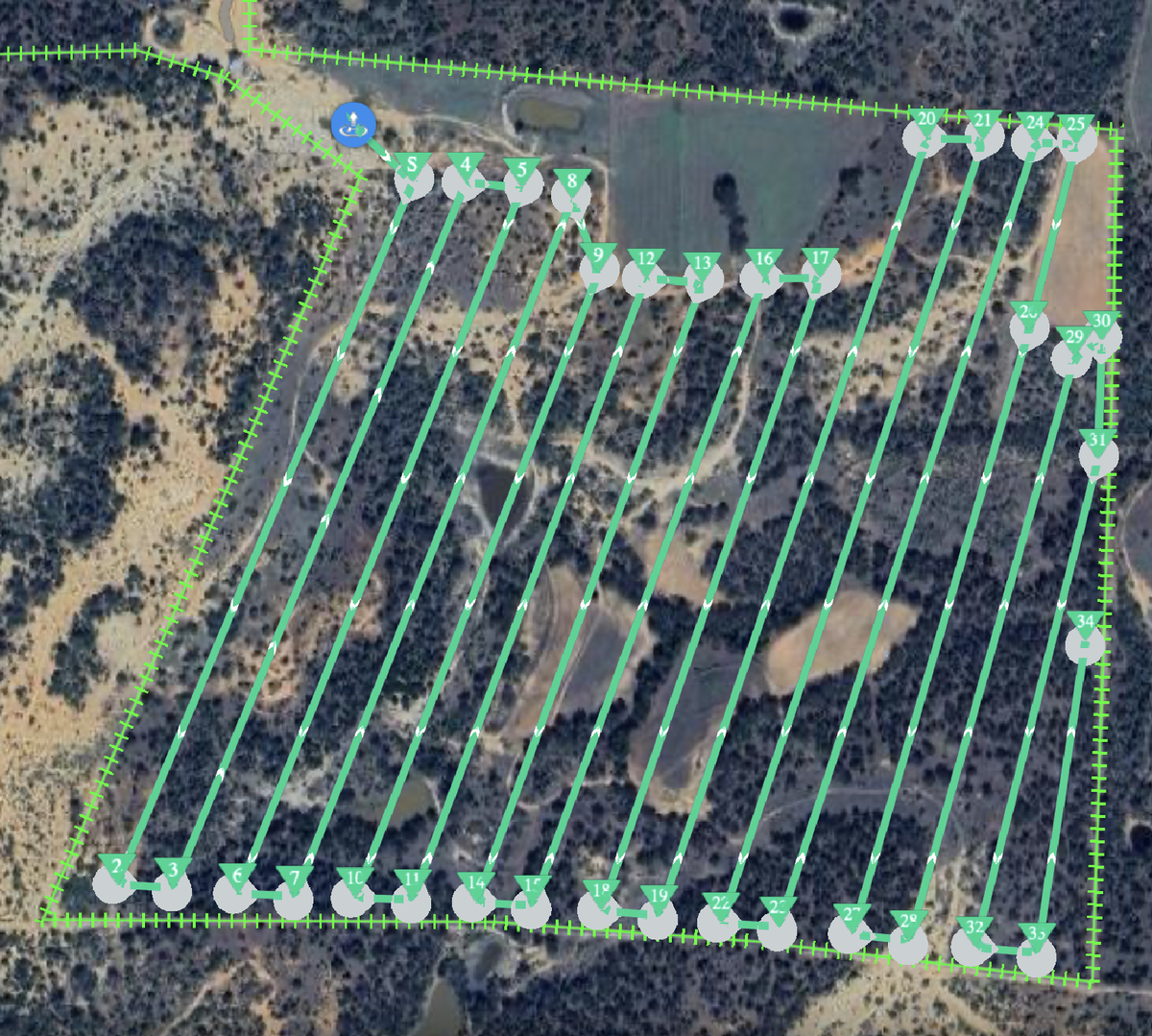
Survey Transect Planning
The Right Tool For Many Jobs
With over 50 years of combined experience, the biologists at Spring Creek Outdoors provide a level of insight and experience to clients that you will find nowhere else. Our pilots have been utilizing drone technology for clients since 2016 and we have built the best survey methodology possible to produce the most accurate data for our clients.
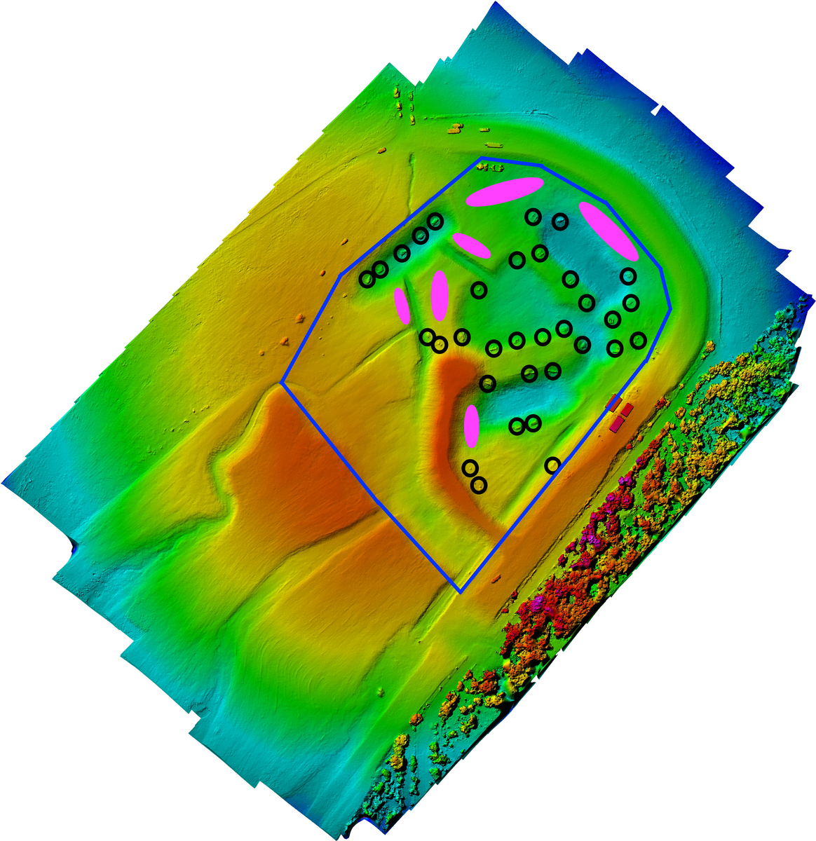
Lake Planning
Services Offered
- Thermal drone surveys
- Custom Orthomosaic Ranch Maps (more current and higher resolution than satellite imagery)
- Elevation Maps
- Pond and Lake Design and Location Planning
- Website and Advertising Photos and Video
- Oil and Gas Surface Use Disputes
- Telecommunication equipment inspections
- Legal Case Evidence
- Locating Missing or Lost Livestock
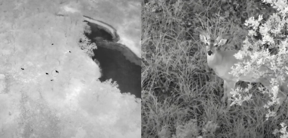
Bachelor Group
Thermal Drone Surveys In Texas
Thermal sensors are a rapidly evolving type of technology. These sensors coupled with Unmanned Aircraft System (UAS), more commonly known as drones, have been commercially available for nearly a decade now. Spring Creek Outdoors started experimenting with this technology in 2019 and found it to be interesting, but not yet able to produce the quality of results that we demand for our clients. That has changed recently and we are now able to produce the level of excellence our clients know to expect from our work.
The aircraft and equipment we use are some of the best currently available for the types of work we do. Our survey methodology is based on decades of experience with aerial surveys and it approved by Texas Parks and Wildlife to meet the requirements of the Managed Lands Deer Permit (MLD). We are among the few drone operators who are also experienced wildlife biologists. The entire thermal survey process, from route and flight parameter planning to reviewing footage and making harvest recommendations, is conducted by our professional wildlife biologists with zero outsourcing at any point.
Our thermal drone surveys are turn-key, no optional add-ons or extra charges. Just as we do with our helicopter surveys, all properties get the same level of effort to our data collection and survey reports, regardless of size. These surveys are generally completed at night, but daytime surveys are possible late fall through spring when the weather is cold enough. Quality of data is the primary concern, so we can and do reschedule when needed to ensure we are getting only the best information possible. We utilize a combination of thermal and night vision cameras to get the most and very best information possible about the animals being surveyed, all while reducing disturbance and stress on the animals.
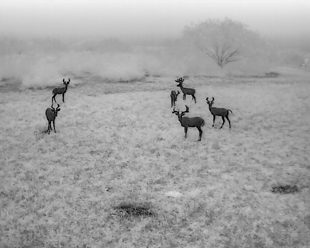
Whitetailed Deer Drone Surveys
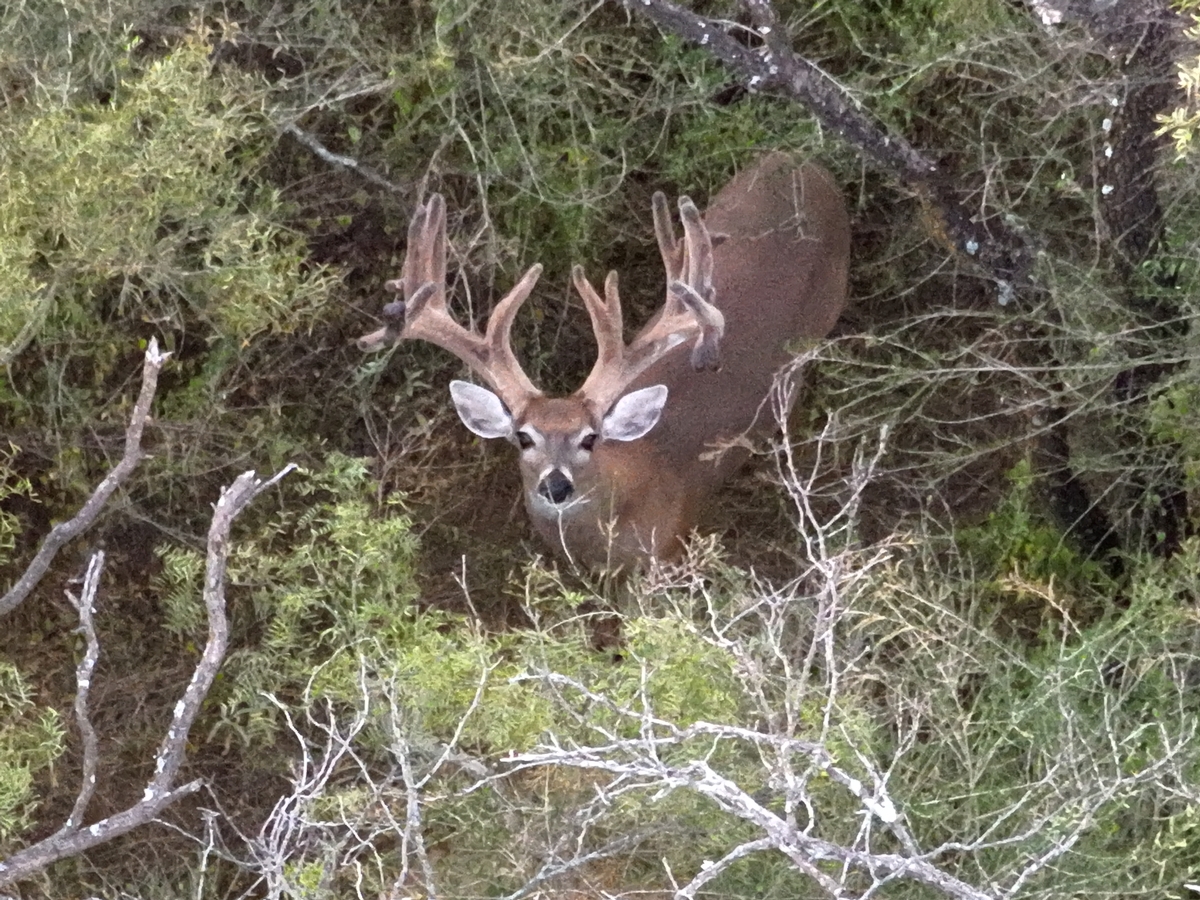
Texas has many different types of terrain types and plant communities, and different combinations of both. Historically, the two most commonly used survey methods accepted by Texas Parks and Wildlife for fall deer surveys were helicopter surveys and spotlight surveys. Both of these survey methods can work very well, on certain types of properties. However, on smaller, high fenced properties with high animal numbers, on densely vegetated properties, and those with large variations in elevations, neither of these methods are ideal. Thermal drones are, with the proper flight parameters, less invasive and prevent over-estimating or double counting.

Gemsbok
Exotic Wildlife Drone Surveys
Surveying exotic wildlife species is another area that thermal drones do extremely well. Many species of antelope form large herds and all move as one when disturbed. As many ranches have these animals present in high numbers and contained with high fences, the chances of increased stress or injury increases when they are disturbed. Species such as axis deer are notoriously hard to collect population data on via other survey methods as they will stay under thick canopy trees if present and hide well from aircraft. Thermal drones offer a low disturbance approach and can see through the canopy to collect accurate herd data on all species, native and exotic.
Licensed and Insured
Our pilots are Certified Remote Pilots under FAA Regulations 14 CFR Part 107. We are authorized to conduct aerial wildlife surveys in Texas as regulated by Texas Parks and Wildlife's Aerial Wildlife Management Permit. We regularly conduct flight operations in Controlled and Restricted Use Airspace (such as Military Operation Areas) and are familiar with all laws, restrictions, and requirements to conduct flights both legally and safely in these areas. We carry professional liability and flight insurance policies just like helicopter companies to ensure everyone's interests are protected.

Survey with Reduced Disturbance
Contact
If you have questions regarding booking a thermal drone survey or any other drone-related services, please contact our Drone Operations Coordinator Matt Nuernberg directly via the phone number or email address below.
