Mapping & Geospatial Analysis

SCO Mapping Services
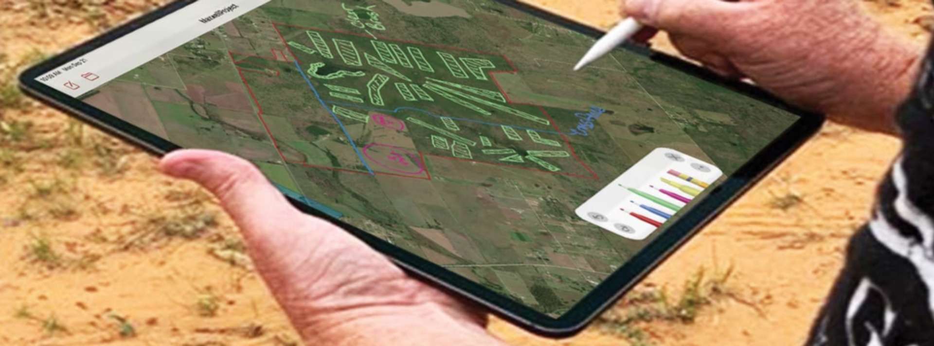
We offer custom mapping of your property for the purposes of printed maps, web maps, GPS apps on your mobile phone or tablet, and geospatial analysis. We print maps on a variety of media and in a variety of sizes. Your property’s geographic information can be gathered remotely or we can do a thorough, on-site GPS inventory of your ranch that is as detailed as you wish. Of course, the more information we have, the more we can do with it in terms of geospatial analysis.
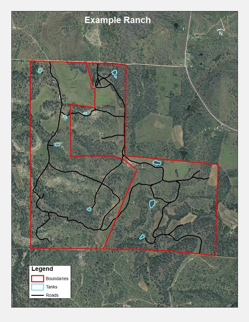
We do simple boundary maps printed on rugged, waterproof vinyl that can be rolled up, crushed, folded, have coffee or beer spilled on it, and still look great. We do wall-sized detailed ranch maps that show every feeder, blind, water source, road, fence, and food plot on a ranch. We do detailed ranch maps that can be loaded into your mobile phone, tablet, or hand-held GPS unit and include layers of detail that can be turned off and on as needed. Whatever your mapping or geospatial needs or wishes, we can do it.
What is Geospatial Analysis?
Geospatial analysis is basically the process of using geographic information to answer questions, plan for the future, examine changes across history, and gain in-depth information about a location. If you have flown over your ranch during a helicopter survey, you know how different your ranch looks from the air than it does from the ground.
GIS mapping provides a similar broad perspective of your property plus enables us to visualize what cannot be seen with the naked eye, such as topography, underlying structures, watersheds, vegetation patterns, water coverage and much more. Mapping and geospatial analysis have a special place in our business because they enable us to illustrate wildlife and habitat management concepts in ways that are easy to understand. They also allow us to communicate highly accurate geographic information for precision work on your property, such as brush management, pond construction, and aerial work.
Here are some examples of how mapping and geospatial analysis can be used:

Evaluating Soils
In this example, a soils map is overlaid with the fenced pastures. Soils are the foundation of your ranch, much like concrete is the foundation of your house. Soils dictate what type of plants are able to grow on your property so knowing your soils is the very first step in habitat management or planting anything. Soils can be amended and improved but the soil type can’t be changed so learning your soil types is critical to any ranch and wildlife management program.

Infrared Imagery
Infrared imagery reveals vegetation health, so it can be used to find areas of your property that need your attention or can be used to to monitor effectiveness of a brush control program.

Water Coverage
This map helps to assess the water coverage for cattle grazing purposes. As you can see, some of the pastures have ample water supply within the quarter-mile range needed for cattle while others are more sparse. The two southern corners of this ranch could use a supplemental water source. When evaluating at water coverage for wildlife, we use a half-mile range around each water source, but can set these ranges at any size to suit your needs.

Infrastructure
Ranch Infrastructure can be documented to make information gathering and management decisions much more expedient. In this example all fence runs have been mapped and annotated with fence type, materials, date of construction, and other useful information. This map shows the length in feet of each run so the amount of material needed to replace old runs can easily be calculated. All tanks (ponds) have been drawn at their average water level and their area calculated, then each pond is labeled with their surface acres.

Services & Pricing
We use ESRI software and gather the data and imagery for our maps from a variety of sources, including the option of custom aerial drone imagery and data collection, and on-site data collection using GPS and tablets.
We print and laminate up to wall-sized maps in-house using a high quality fine art printer and have another printing business on call for very large or specialized print jobs.
For your convenience, we offer the following packages for printed maps, but can do custom sizes and media so don’t hesitate to ask!
Boundary map package*: $225
24x36” map on heavy paper or waterproof vinyl
Two 11x17” boundary maps on waterproof vinyl or laminated paper
Custom map package*: $300
24x36” map on heavy paper or waterproof vinyl
Two 11x17” custom maps on waterproof vinyl or laminated paper
*Package prices include initial mapping work, so additional prints will be priced differently as will updating imagery or additional customizations on existing map files. For example, additional 11x17” maps would be $15 each.
Please give us a call or send us an email with any questions or to get your project started!
