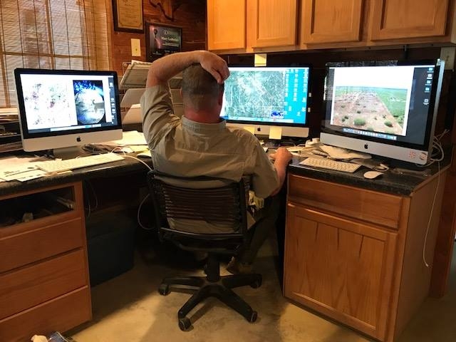
Consulting & Field Services
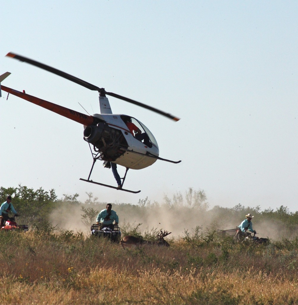
Helicopter Wildlife Captures
We Utilize a Custom Approach to Managing Your Property & Goals
We understand that no two ranches are the same, and that each property has its own set of challenges and tasks that must be completed to keep things running smoothly and at full speed. Whether you have a full ranch staff that needs temporary assistance with a special project or you are an absentee landowner that needs some things handled between your visits to the ranch, we are here to help. Below is a partial listing of service offered by Spring Creek Outdoors, LLC. If you don’t see your need listed below, please give us a call because we are sure we can help. With over two decades in the industry, our company is truly a turn-key, one-stop operation.
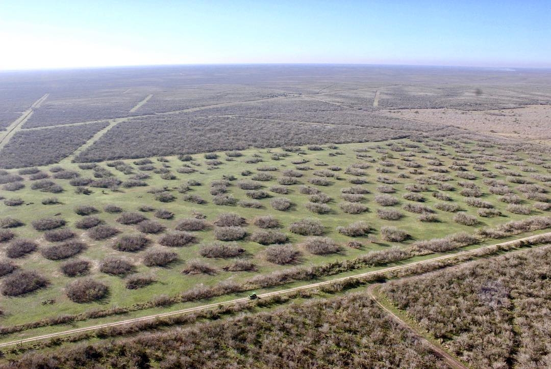
Intensively managed quail habitat
Our Services Include
- Wildlife Surveys—Helicopter, Trail Camera, Drone, Spotlight
- Wildlife and Habitat Management Plans
- Written Harvest Recommendations
- Wildlife Management Tax Conversion Plans
- Deer Breeder Pen Inspections
- Native and Exotic Game Permitting/Captures/Restocking
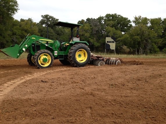
Food plot selection & installation
- Native Range Restoration/Habitat Management
- Food Plot Management
- Predator Control
- Hunting Lease Management
- Expert Witness Service
- Public Speaking, Seminars, Radio and Television
- Mapping and Geospatial Analysis
- Brush Spraying
- Remote Hog Trapping
- Animal Population Control
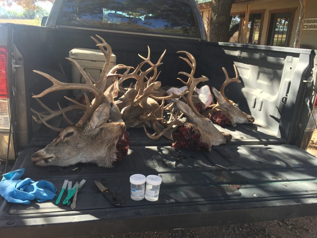
CWD Sample Collection
- Certified CWD Sample Collections
- Controlled Burning
- Ranch Liaison Services
- Custom Remote Presentations and Conference Calls (ideal for lessee/shared property interest meetings when not all parties involved can align their schedules to meet in a single location)
- Ranchland Acquisition and Pre-Purchase Appraisals/Real Estate Representation
- Wind, Oil and Gas Surface Use Assistance
- Wild, Oil and Gas Surface Reclamation/Restoration
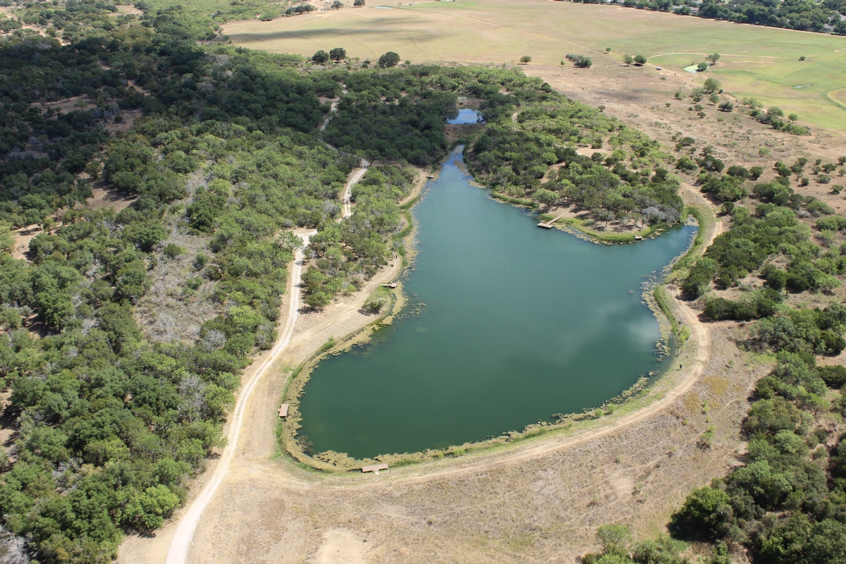
Comprehensive pond management & construction
Pond Management
- Pond Design and Creation
- Surveys
- Population Reduction
- Fish Stocking
- Vegetation Control (in-water and on tank dams)
- New Pond Location Planning and Water Distribution Mapping
- Water Quality Analysis
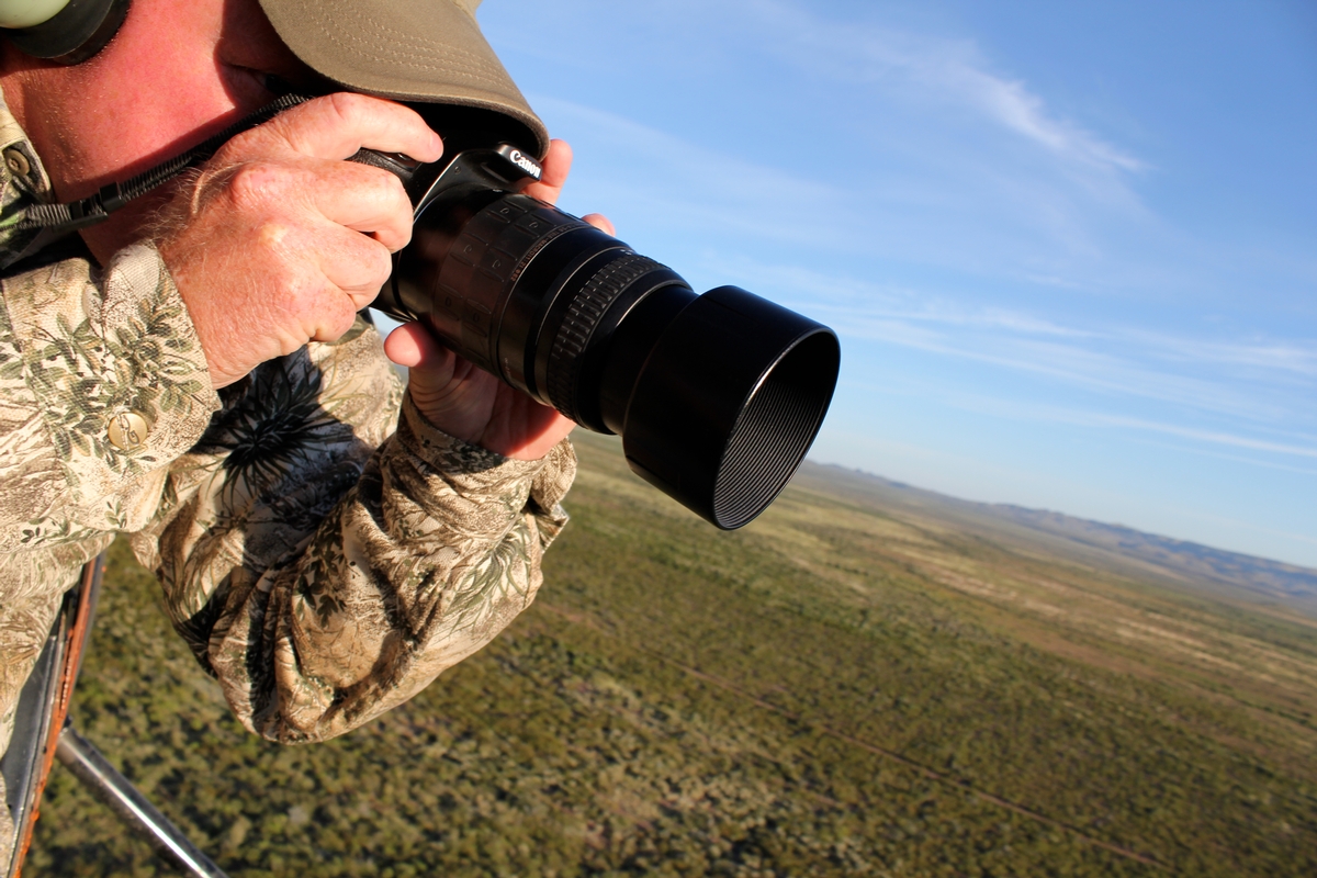
Custom Photography
Photography Services
- Professional Wildlife Photography for Website/Business Use
- Aerial Pictures and Videos for Website/Real Estate Use
- Custom Printing up to Billboard-Sized Prints
- Stock Images
Mapping & Geospatial Analysis
We offer custom mapping of your property for the purposes of printed maps and/or geospatial analysis. We can print maps on a variety of media and in a variety of sizes. Your property’s geographic information can be gathered remotely or we can do a GPS inventory of your ranch that is as detailed as you wish. Of course, the more information we have, the more we can do with it in terms of geospatial analysis.
What is geospatial analysis? It is basically the process of using geographic information to answer questions, plan for the future, examine changes across history, and gain in-depth information about a location. Mapping and geospatial analysis have a special place in our business because they enable us to illustrate wildlife and habitat management concepts in ways that are easy to understand.
Our custom printed maps begin at $150 for a large, full-color boundary map layered over aerial imagery. Give us a call or an email to find out more about the process and to get your ranch map started.
